Camino Frances Stage Route: Saint-Jean-Pied-de-Port – Roncesvalles (24.2 km)
This stage of the Camino de Santiago Frances is the toughest of the entire route: 24.2 kilometers and over 1,200 meters of ascent to cross the Pyrenees from Saint-Jean-Pied-de-Port (France) to Roncesvalles (Navarre) via the Route Napoleon. Spectacular scenery, but it demands good physical fitness and respect for mountain weather.
KM 0
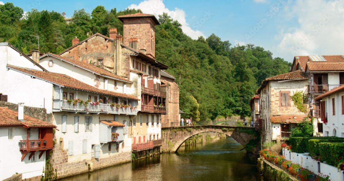
Saint-Jean-Pied-de-Port
Leave via the Rue d’Espagne and the Porte d’Espagne. At 100 m, those taking the Valcarlos variant turn right; the <strong>Route Napoléon</strong> continues straight ahead and turns right onto a steep local road signposted “Route de Napoléon,” which follows the Roman Via Aquitania.
24.2 km
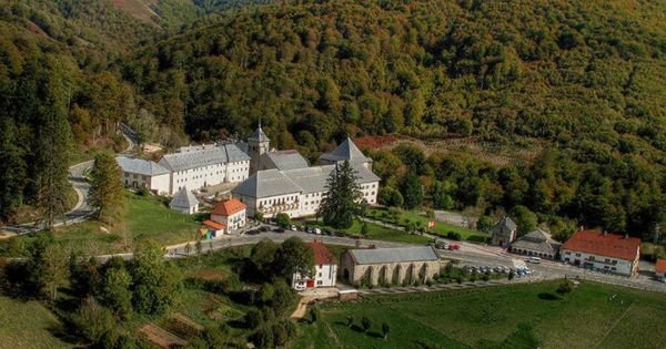
Roncesvalles
Roncesvalles (Orreaga), with its 13th-century Real Colegiata, the hostel in the former pilgrims’ hospital, and the chapel of Sancti Spiritus, also known as Charlemagne’s Silo. For many, this is where the Camino Frances begins.
Saint-Jean-Pied-de-Port – Roncesvalles: Complete Guide
Stage Profile: Distance, Elevation and Difficulty
Distance: 24.2 km (Route Napoleon). Walking time: 7 – 9 hours. Elevation change: around +1,250 m and –490 m. Difficulty: high —this is the most demanding stage of the entire Camino Frances. Almost 20 km of near-continuous climbing up to the Lepoeder pass (1,430 m), followed by a tough final descent. There is barely any services: only the Orisson refuge, at 7.6 km. Cyclists will need to push their bikes on many sections, and part of the route runs along the N-135 road.
Route Napoleon or the Valcarlos Alternative
There are two ways to cross the Pyrenees on this stage. The Route Napoleon climbs over the Cize passes and the Lepoeder pass: it is the classic option, the most spectacular and the toughest. The Valcarlos alternative follows the valley floor on a paved road, passing through the village of Valcarlos, with much gentler elevation change and a similar distance (~24 km); it is the option for anyone who is not in top shape, for cyclists, and for less experienced pilgrims. From November 1 to March 31, the Route Napoleon is closed due to snow and ice risk: during this period you must take the Valcarlos route, with fines of up to €12,000 for anyone who ignores the closure.
What to See: Monuments and Heritage
In Saint-Jean-Pied-de-Port: the citadel, Rue de la Citadelle and the Porte Saint-Jacques. On the climb: the Virgen de Biakorri statue and the Thibault cross. In Roncesvalles: the Royal Collegiate Church of Santa María (Gothic, home to the Virgin of Roncesvalles), the tomb of King Sancho VII the Strong, the Chapel of Santiago, and the Silo of Charlemagne.
A Bit of History
In the year 778, in these mountains, the rearguard of Charlemagne‘s army —led by Roland— was wiped out by the Basques in the Battle of Roncesvalles, an episode that centuries later inspired The Song of Roland. The pilgrims’ hospital at the collegiate church, founded around 1130, is one of the oldest and most famous on the Way of St. James. Saint-Jean-Pied-de-Port was the last town of the Kingdom of Navarre north of the Pyrenees and the meeting point of three of the four great French routes (Tours, Vézelay and Le Puy).
Local Food
On the French side: Bayonne ham, Ossau-Iraty sheep’s cheese, gateau basque, and Irouleguy wine. Once in Navarre: lamb, shepherd’s migas, river trout, and Pyrenean cheeses. At the Roncesvalles albergue, the pilgrims’ dinner is a long-standing tradition.
Practical Tips
Check whether the Route Napoleon is open (closed from November 1 to March 31, and sometimes due to bad weather). Book Orisson weeks in advance if you want to split the stage in two. Set off early and carry 1.5–2 liters of water, food, warm clothing and a rain jacket: mountain weather changes fast and there is nowhere to shelter. In fog, take extra care on the Lepoeder descent. In Roncesvalles it is a good idea to book a bed in high season.
Services and Accommodation by Village
Listings published in our guide for the villages on this stage. Honto and Orisson do not yet have accommodation or heritage listings in the guide.
Saint-Jean-Pied-de-Port
Hostels
- Albergue Gîte Compostella Saint Jean Pied de Port
- Albergue Gîte de la Porte Saint-Jacques Saint Jean Pied de Port
- Albergue Gîte La Vita è Bella Saint Jean Pied de Port
- Albergue Gîte Zuharpeta Saint-Jean-Pied-de-Port
- Albergue Le Chemin vers l’Etoile Saint Jean Pied de Port
Accommodation
- Hôtel des Pyrénées Saint Jean Pied de Port
- Hotel des Remparts Saint Jean Pied de Port
- Hotel Itzalpea Saint Jean Pied de Port
Roncesvalles
Hostels
Accommodation
Churches