Castrojeriz
Castrojeriz is a historic town in the Provincia de Burgos (Castilla y León), set in the district of Odra-Pisuerga, beside the Río Odra and very close to its confluence with the Pisuerga. It lies about 42 km west of the city of Burgos, on the Camino de Santiago Frances and also on the line of the N-120 (route of the old Hispano-Roman road from Bordeaux to Galicia). It is also part of the tourist route Las Cuatro Villas de Amaya, together with Villadiego, Melgar de Fernamental and Sasamón. Since 2023 it has belonged to the network of Los Pueblos Más Bonitos de España (The Most Beautiful Villages in Spain), and within the group “Caminos de Santiago de Compostela: Camino Frances y Caminos del Norte de España”, the town is listed by UNESCO as an element associated with the route (2015 extension). It had 780 inhabitants (INE 2024).
Accommodation in Castrojeriz
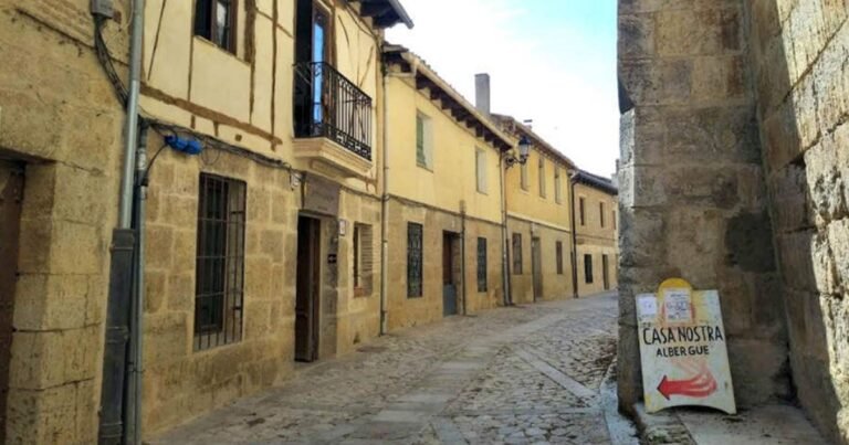

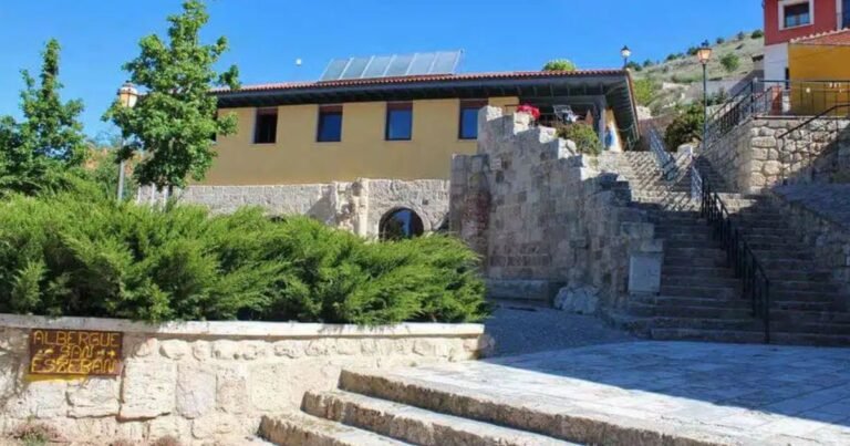
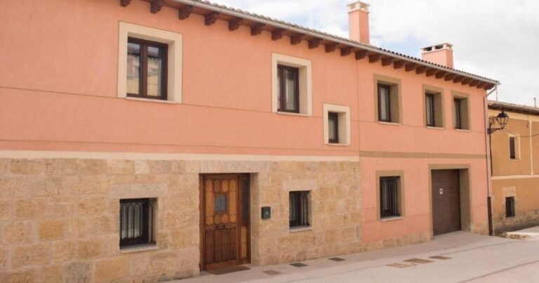


Castrojeriz on the Camino Frances
The route of the Camino de Santiago Frances runs lengthwise through Castrojeriz for more than 1,500 metres, making it the longest urban stretch of the entire route. The village follows a linear layout: houses, churches and former pilgrim hospitals line both sides of the street-path, reflecting the town’s historic role in welcoming pilgrims. On the hill overlooking the settlement stand the ruins of the Castillo de Castrojeriz, the site’s first settlement and a visual landmark for the whole stage between Hontanas and Boadilla del Camino (Provincia de Palencia).
Hostels in Castrojeriz
Historical overview of Castrojeriz
- Origins and medieval resettlement: The original castrum made use of a hill controlling the Odra–Pisuerga corridor. In 974, Count García Fernández granted the town a pioneering Fuero (charter) in Castile, raising peasants who owned a horse to the status of infanzones (lesser nobility), reflecting the site’s strategic value.
- Manorial lordships and the late Middle Ages: Castrojeriz was a stronghold coveted by noble lineages and military orders, with a documented presence of the Knights Templar and, later, the Hospitaller Brothers of Saint Anthony. The town maintained several hospitals for pilgrims and a busy market.
- The Modern and Contemporary Age: Head of the historic Partido de Castrojeriz district within the Intendencia de Burgos (1785–1833), the town consolidated its role as a crossroads. The 19th-century disentailment (desamortización) transformed the monastic landscape, and today striking ruins remain, such as those of the Monasterio de San Antón Castrojeriz.
Geography and landscape of Castrojeriz
The municipal area sits on a cereal-growing plain where the flat meseta opens into wide views, ideal for watching sunrises and sunsets. The castle hill serves as a natural viewpoint over the Camino de Santiago and the Odra plain, with paths connecting the town to the summit.
What to see in Castrojeriz?

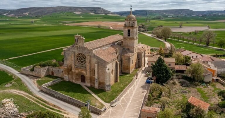

Heritage of Castrojeriz
- The town of Castrojeriz — Bien de Interés Cultural (Historic Site), Spain’s highest heritage protection category.
- Initiated: 20/12/1974 — Declared: 20/12/1974 — BOE: 31/01/1975.
- Forms part of the Camino de Santiago (Decree 324/1999, 23 December).
- Castillo de Castrojeriz — Bien de Interés Cultural.
- Initiated: 22/04/1949 — Declared: 22/04/1949 — BOE: 05/05/1949.
- Restored for visitors in 2013.
- House known as “El Fuerte” — Bien de Interés Cultural.
- Initiated: 22/04/1949 — Declared: 22/04/1949 — BOE: 05/05/1949.
- La Torre — Bien de Interés Cultural.
- Initiated: 22/04/1949 — Declared: 22/04/1949 — BOE: 05/05/1949.
- Iglesia de San Juan (Church of Saint John) — Bien de Interés Cultural.
- Initiated: 21/11/1980 — Declared: 29/06/1990 — BOE: 03/07/1990.
- Iglesia de Nuestra Señora del Manzano (Church of Our Lady of the Manzano).
- Monasterio de Santa Clara (Monastery of Saint Clare).
- Ruins of the Monasterio de San Antón Castrojeriz (a royal pilgrim hospice, 1146).
- Historic bridges: Puente de Bárcena (also known as Puente Largo, on the pilgrim route) and Puente de Tabanera.
- Wayside cross with the Tau symbol (a reminder of the Order of Saint Anthony).
Demographics and annexed municipalities
The population stood at 780 inhabitants (INE 2024). Over the course of the 20th century the municipal area absorbed Barrio de Santa María del Manzano, Hinestrosa, Villasilos and Villaveta, forming a map of annexed settlements where rural heritage still survives (chapels, farmhouses, old drover’s-road edges).
Local gastronomy and shopping in Castrojeriz
- Castilla y León cuisine: roasts, game stews, traditional soups and cheeses from the Odra–Pisuerga area.
- Monastic pastries: specialities from the Monasterio de Santa Clara.
- Pilgrim produce: traditional bakeries, wine and honey; pilgrim souvenirs featuring the Anthonine Tau symbol.
Castrojeriz
Castrojeriz brings together landscape, pilgrim memory and architecture in a compact, easy-to-read route for travellers. The combination of the longest urban stretch on the Camino Frances, the unmistakable silhouette of the castle and the network of historic churches and hospitals makes the town an essential stop for understanding the essence of the Camino on the Castilian meseta.
| Country | Spain | |
|---|---|---|
| Autonomous community | Castilla y León | |
| Province | Provincia de Burgos | |
| District | Odra-Pisuerga | |
| Judicial district | Burgos | |
| Location | 42°17′16″N 4°08′20″W | |
| Altitude | 804 m | |
| Area | 136.08 km² | |
| Population centres | Castrojeriz, Barrio de Santa María del Manzano, Hinestrosa, Tabanera, Valbonilla, Vallunquera, Villasilos and Villaveta | |
| Population | 780 inhabitants (2024) | |
| Density | 6 inh./km² | |
| Demonym | castreño, castreña | |
| Postal code | 09110 | |
| Dialling code | 947 | |
| Patron saint | San Juan Bautista | |
| Website | www.castrojeriz.es | |